Weather Alert: Fog and Isolated Showers Hit South African Provinces Amid Cold Front
Fog, Showers, and Cooling Air Shift South African Weather Patterns
South Africa’s weather turned into a real mix this Saturday, trailing a line between foggy mornings and rainy, cooler afternoons across several provinces. The South African Weather Service (SAWS) logged thick morning fog in KwaZulu-Natal and Mpumalanga, turning drives into a slow, cautious affair as visibility dropped. Road users pulled out their headlights and took it slow, waiting for the sun to burn through the haze.
Central and northern regions, including familiar city names like Johannesburg, Pretoria, and Vereeniging, shook off the fog by midmorning. These areas enjoyed stretches of partly cloudy skies, with just enough brightness to give weekend plans the all-clear. Temperatures here hovered in the mid-20s, with highs reaching 26°C in Johannesburg and Pretoria—making for a comfortable, breezy start to the fall season.
Meanwhile, people living further north and east kept one eye on the sky. There was a noticeable 30% chance of isolated showers and thunderstorms across Limpopo, the northern tip of the North West Province, and the eastern swaths of the Eastern Cape. Rain clouds didn’t bring relentless downpours, but scattered showers forced residents to grab umbrellas when heading out—especially late in the afternoon when thunder threatened to roll in unexpectedly.
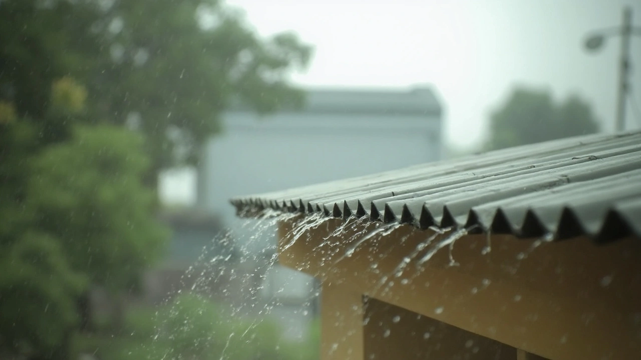
Cold Front Unleashes Rain and Cooler Weather in the Southwest
Folks along South Africa’s southwestern coastline had a different story to tell. A defined cold front swept in from the Atlantic, dragging cooler air and persistent rain into places like Cape Town and its surrounds. Morning temperatures sagged, and the rain sent locals scrambling to cover outdoor furniture and dig out jackets that had been gathering dust.
Temperature swings were dramatic depending on where you woke up. Places like Mbombela in Mpumalanga saw a warm peak at 28°C, while southwestern towns shivered in the wake of the cold front, with grey skies and steady drizzle. Evenings promised to bite a little harder than usual too, with some overnight lows dipping to the 10°C mark in high-altitude towns like Ermelo—so heaters got a rare autumn workout.
Along the nation’s coastline, skies stayed partly cloudy, with that ever-present 30% chance of rain keeping beach trips in check. April is notorious for its on-off rainfall, and according to SAWS records, the country typically clocks in around 3–8 rainy days this month, tallying an average 82 mm of rainfall. So while umbrellas came out, the rain didn’t stray far from expectations—steady enough to keep gardens green but not so wild as to cause much disruption.
Importantly, the Weather Service kept things calm—no major weather alert was issued for severe storms or damaging winds. Still, they urged everyone to stay tuned to local updates, especially in fog-prone and rain-hit provinces. If you’re planning a drive at dawn or heading out for the evening, don’t ditch your raincoat just yet.